
Affiliate Disclosure: We’re independent & reader-supported. When you buy through our links, we may earn a commission. Learn more.
The 21 Best Hikes in Oregon

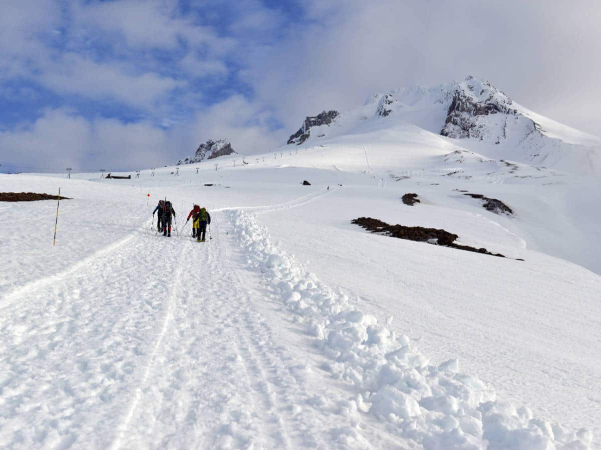
In this guide, we’ll explore some of the top hikes in Oregon. Whether you’re looking for coastal treks, mountain trails, cascading waterfalls, or long-distance thru-hikes, I’ve got you covered!
I’m an avid hiker who has summited Oregon’s highest mountain and backpacked through the state’s lush forests. I can assure you that exploring its diverse landscapes is one of the best things to do in Oregon.
So lace up your hiking boots and let’s get started!
Affiliate Disclosure: Travel Lemming is an independent reader-supported blog. You can support us by purchasing via the affiliate links on this page, which may earn us commissions. See our Advertising Policy for further explanation. Thank you!
21 Best Hikes In Oregon
Multnomah Falls
The Columbia River Gorge’s most popular hike showcases the most breathtaking waterfall in the state.
🥾 Easy | 2.6 miles | Google Maps | Multnomah Falls Website | Drive Time from Portland: 35 minutes | Cost: free, $2 permit required during peak season (Memorial Day to Labor Day)
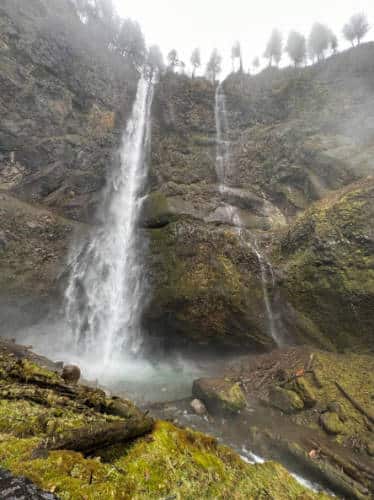
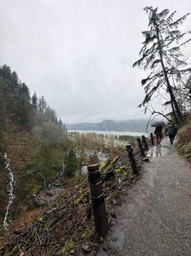
Multnomah Falls is perhaps the most popular hike in the state and is undoubtedly the gem of the Columbia River Gorge. Luckily, it’s also very easy to access. It’s one of the coolest hiking trails near Portland and only takes about 30-45 minutes to get to the trailhead from the city.
Multnomah Falls is the tallest waterfall in Oregon, dropping an incredible 620 feet between basalt cliffs freckled with moss and surrounded by maple, alder and fir trees. The hike to the falls is quite easy, especially if you’re only going as far as Benson Bridge.
The falls are free to visit during the off-season but require a $2 permit if visiting in the summer when it’s consistently crowded. You can purchase your permit at Recreation.gov.
Or you can completely bypass the need for a permit and eliminate parking struggles by booking a Columbia River Gorge half-day hiking tour! This tour will take you to Multnomah Falls and to several other lesser known (and less crowded) waterfalls in the area.
Mount Hood
Climb to the summit of Oregon’s tallest mountain.
🥾 Expert | 6.4 miles | Google Maps | Mount Hood Website | Drive Time from Portland: 1 hour, 40 minutes | Cost: free, climbing permits required ($20 for a 3-day pass; $50 for an annual pass)
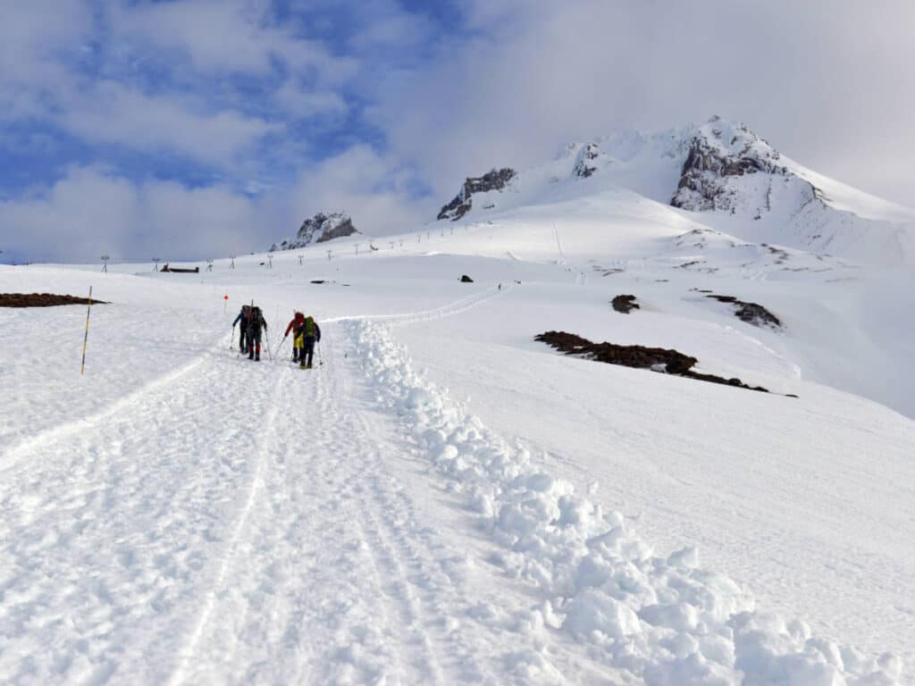
Hike to the top Mount Hood, Oregon’s tallest mountain. This Cascade Mountain hike is by far my favorite hike in the state, but it requires technical mountaineering skills and equipment.
The 11,249-foot summit may not initially seem like much of a challenge compared to higher mountain hikes in Washington, but there is more than 5,000 feet of elevation gain in 3.2 miles on the ascent. This is a feat only successfully tackled by climbers with good endurance.
The hike starts from the Timberline Lodge in Government Camp. Climbing Mount Hood is most often done in a grueling day hike but hikers can also camp overnight at the trailhead or stay at the lodge. You cannot camp at Mount Hood’s summit.
Oregon Coast Trail
Embark on an epic long-distance trek along the entire Oregon coast.
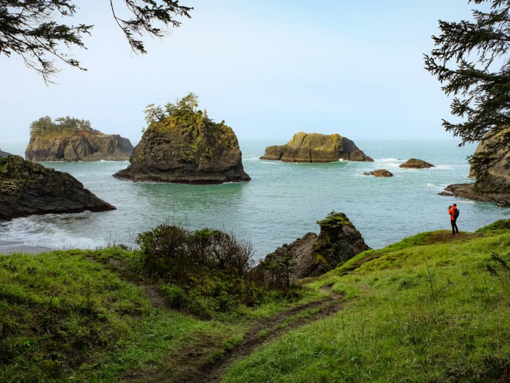
🥾 Hard | 362 miles | Google Maps | Oregon Coast Trail Website | Cost: Free to hike; shuttle, campsite, and lodging prices vary
The Oregon Coast Trail is for hikers with excellent endurance. This 362-mile thru-hike is no easy feat. It takes an average of 3-4 consecutive weeks to complete, and the best time to tackle the trail is from late spring to early fall.
Travelers with less time can section hike scenic stretches of the trail. Section 1 is a popular section from the Columbia River to Oswald West, and Section 2 brings hikers from Oswald West to Cape Lookout. Along the way, you’ll pass through stunning coastal state parks, walk along the sand and around rocky headlands, and can stop at some iconic seaside towns.
Your proximity to populated areas makes this a unique experience for backpackers. You’ll have plenty of access to amenities along the way. You can stay overnight in comfortable lodging and have access to showers and toilets!
You can also take a shuttle to skip sections of the thru-hike you’re less interested in – particularly those that involve walking along busy roads.
Pacific Crest Trail
Tackle more than 2,600 miles on this thru-hike from California to Washington.
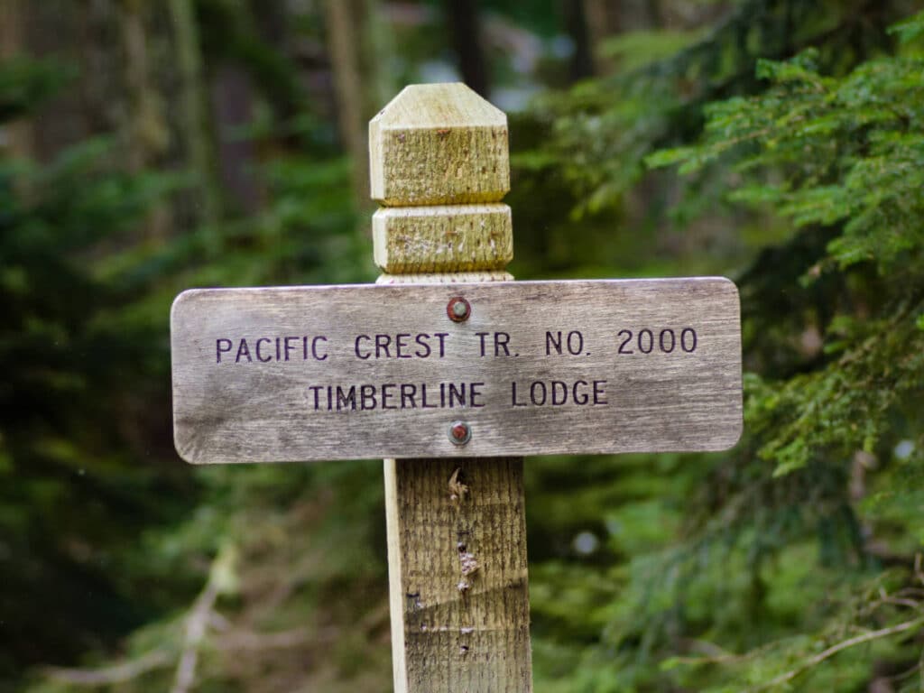
🥾 Expert | 2,650 miles | Google Maps | Pacific Coast Trail Website | Cost: free, permit needed when entering Canada
The most popular thru-hike on the West Coast, the Pacific Crest Trail is a 2,650-mile multistate trail that stretches from the Mexico-California border to the Washington-Canada border.
The Oregon portion of the Pacific Crest Trail is 457 miles across the state from the Sisikou Mountains in the south to the Columbia River in the north. Hiking this long trail bit by bit is my favorite way to explore it. Also, Oregon’s section of the PCT is considered the easiest part of this massive trail. This is a good state to test out if doing the entire trek feels out of reach.
Along the way, you’ll hike through the volcanic Cascade Mountain range, get up close to Mount Hood, and pass by many gorgeous lakes – including Crater Lake, the deepest lake in the state.
Garfield Peak Trail
A trail in Crater Lake National Park with sweeping views of the mesmerizing caldera lake.
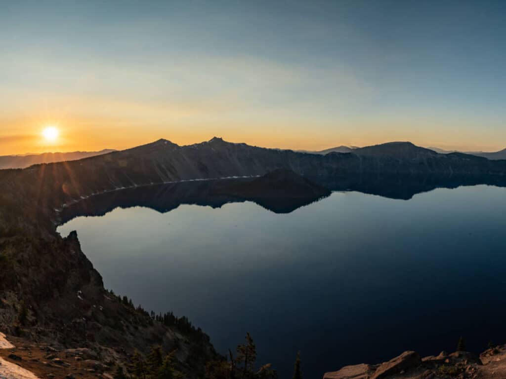
🥾 Moderate | 3.4 miles | Google Maps | Garfield Peak Trail Website | Drive Time from Klamath Falls: 1 hour | Cost: Standard National Park Pass ($20/vehicle Nov-May; $30 per vehicle Late May-Oct)
Get an incredible view of the deepest lake in the U.S. on the Garfield Peak Trail. The Crater Lake National Park may be Oregon’s sole national park, but it’s a magnificent one. The view of the lake from the Garfield Peak Trail will leave you speechless. Do this hike to admire the deep blue lake in all its glory.
The 1,076 feet of elevation gain on this 3.5-mile trail means it’s not easy, so the payoff from the top will feel extra worth it. Get a good workout on the trail, and conclude the hike with an ice-cold beverage from the Crater Lake Lodge after your trip back.
Trail of Ten Falls
This hike winds past 10 beautiful waterfalls in Silver Falls State Park.
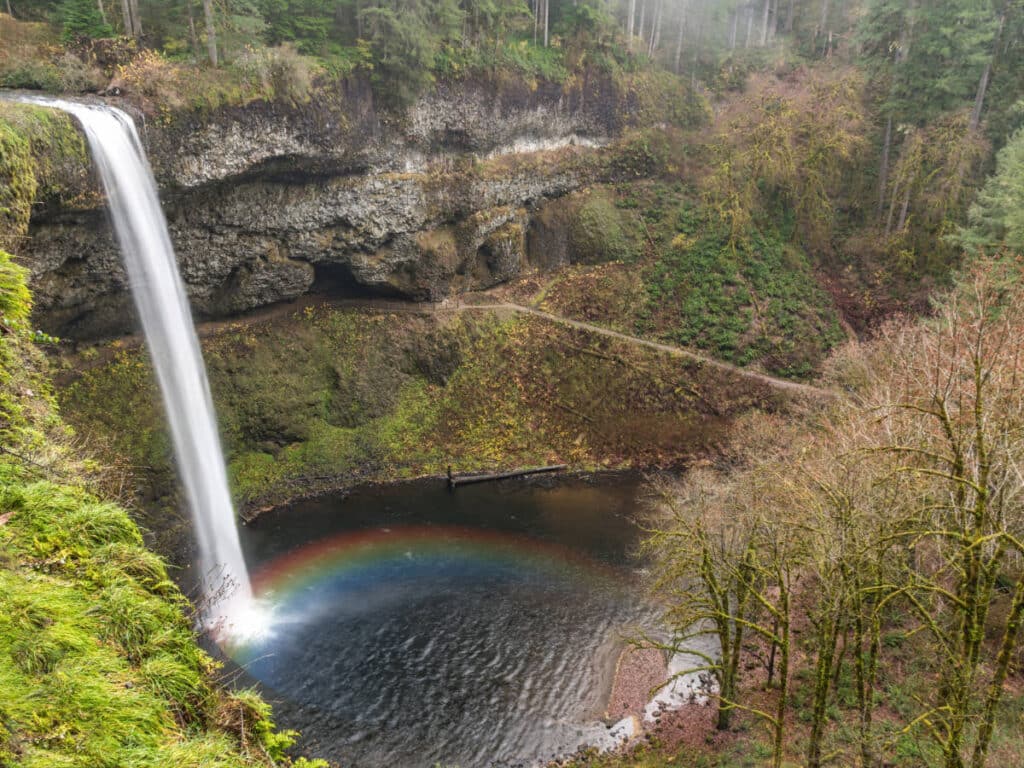
🥾 Moderate | 7.4 miles | Google Maps | Trail of Ten Falls Website | Drive Time from Salem: 35 minutes | Cost: $10 Day-Use Parking Permit for residents, $12 for non-residents
Why hike to just one waterfall when you can visit 10 on the same trail? Visit Silver Falls State Park to see some of the state’s prettiest waterfalls in one of its most popular state parks. You’ll even get to walk behind four different waterfalls along the way. This is my go-to hike in the summer months when the heat starts to feel unbearable.
The hike is relatively easy despite the long distance. The falls range from 27-128 feet and loop hikers can approach the falls from either side. Bring a bathing suit – there are places where you can take a dip in the waterfall pools.
Columbia River Gorge
Choose from hundreds of hikes in this protected National Scenic Area and camp right along the Columbia River.
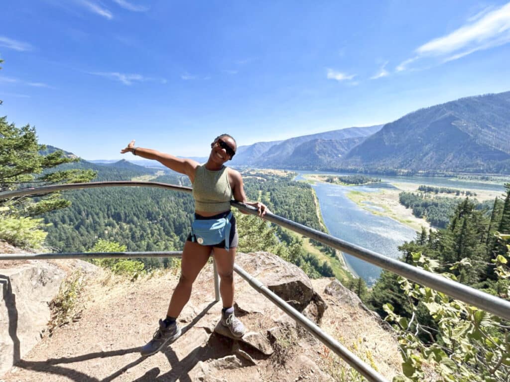
🥾 Easy-Moderate | 2-7 miles | Google Maps | Columbia River Gorge Website | Drive Time from Portland: 20 minutes | Cost: $5-Day Use Northwest Forest pass required at select trails
The sheer number of hikes in the Columbia River Gorge area is enough to keep an eager hiker occupied for weeks at a time.
Top trails include Multnomah Falls, Eagle Creek, and Loutrell Falls. You can also cycle along the Historic Columbia River State Highway Trail which begins in Troutdale on the west and ends in The Dalles to the east. Beacon Rock and the Dog Mountain Trail on the Washington State side of the Gorge are also worth exploring.
To experience a lot of what the Gorge has to offer, I recommend camping in the “Grand Canyon of the Pacific Northwest.” Memaloose State Park is one of the best places to do this, with campsites overlooking the beautiful Columbia River.
Three Sisters Loop Trail
A beginner-friendly backpacking trip that takes hikers around three Cascade volcanoes along the way.
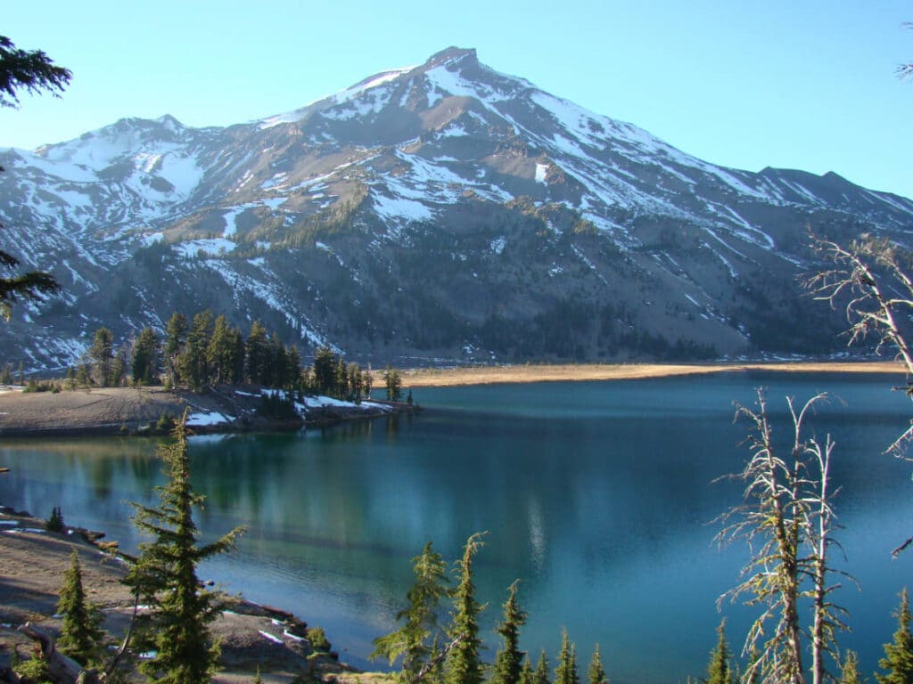
🥾 Hard | 48.1 miles | Google Maps | Three Sisters Loop Hike Website | Drive Time from Bend: 35 minutes | Cost: $1 Central Cascades Wilderness Permit (required from June 15 to October 15)
The Three Sisters Volcanoes loop starts at the Lava Camp Lake Trailhead, travels 48.1 miles, and ends full circle back at Lava Camp. The best time to visit Oregon to hike the Three Sisters Loop is in the late summer when the chances of snowmelt are the greatest.
This long but scenic hike winds past grasslands, basaltic rock, and lava beds. It’s best tackled in a 2 or 3-day backpacking adventure. With only 5,800 feet of elevation gain, this multi-day excursion isn’t as strenuous as one would expect for 7,000-foot volcano climbs, making it a good option for newer backpackers. Just know that it can be a bit hard to find drinking water on the loop’s west side.
Misery Ridge and River Trail
Hike high above the Crooked River on a narrow trail in Smith Rock State Park.
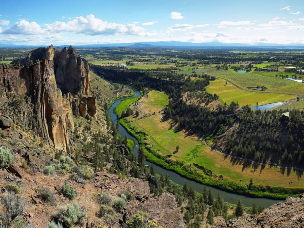
🥾 Hard | 3.5 miles | Google Maps | Misery Ridge and River Trail Website | Drive Time from Bend: 40 minutes | Cost: $5 parking
Visit Central Oregon’s high desert with a trip to Smith Rock State Park. The park’s Misery Ridge Trail provides sweeping views of the snaking Crooked River below.
The steepness of the ridge and river trail means it may not be ideal for novice hikers. Additionally, because of the narrow ridge climbing involved, I’d avoid bringing off-leash dogs, small children, or people prone to vertigo.
Steens Mountain
An unbelievably beautiful hike in the remote and seldom traveled high desert of Southeast Oregon.
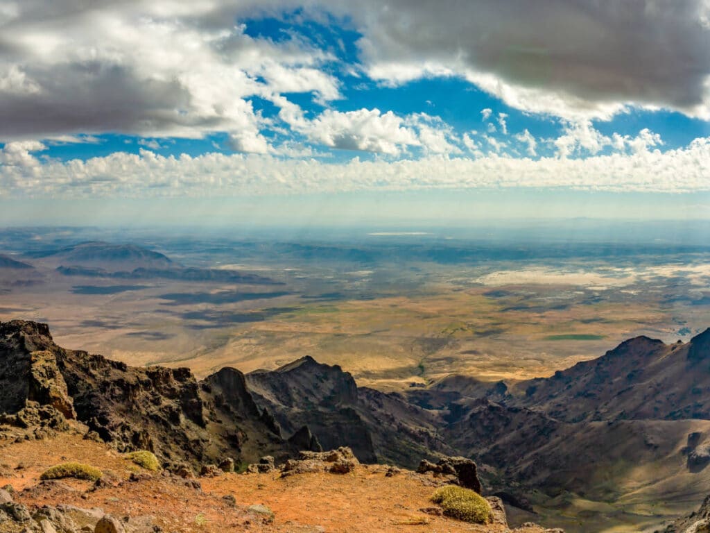
🥾 Moderate | 0.9 miles | Google Maps | Steens Mountain Website | Drive Time from Bend: 3 hours | Cost: free
Steens Mountain is remote, located in the seldom-explored wilderness of Southeast Oregon. It’s far from nearly every other hike on this list. But if you do take the long trek to get here, it will be worth it. This place feels downright otherworldly.
There’s a lot to explore in the Steens Mountain Wilderness, but the hike to the summit is a worthwhile and relatively short trek. You’ll park at the Steens Mountain Summit trail off the Steens Mountain Loop road. It’s only about a mile roundtrip.
After hiking to the summit, head down to Wildhorse Lake from the same trailhead. Here, you can admire gorgeous wildflowers in spring or summer or just relax and swim in the beautiful alpine lake.
While in the area, be sure to stop at the Kiger Gorge and East Rim Overlooks, which offer stunning vistas. At the latter, you can even see as far as the Alvord Desert. Make sure your Oregon packing list includes binoculars if you’re visiting Steens. In addition to all the great views, you may even spot the wild Kiger Mustangs that roam this area.
Mount Jefferson
One of the best hikes for an endurance workout in the Cascades.
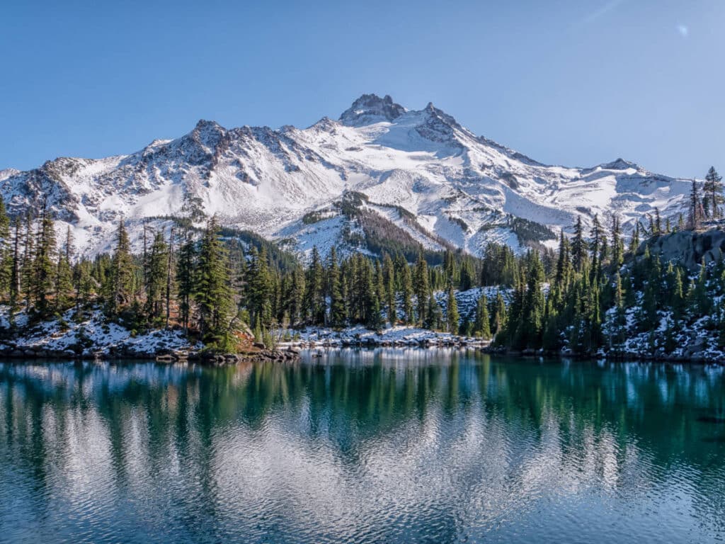
🥾 Hard | 20.3 miles | Google Maps | Mount Jefferson Website | Drive Time from Bend: 1 hour 30 minutes | Cost: $1 day-use permit; $6 overnight camping permit
The Mount Jefferson hike via Pamelia Lake is one long, hard, and remote day hike. At just over 20 miles round-trip and 7,109 feet of elevation gain, Mount Jefferson requires some serious physical fitness and excursion planning skills.
Mouth Jefferson is quite a pleasant overnight camping adventure. Permits for both day hikes and overnight camping trips are required from June 15 to October 15 and can be purchased here.
Clatsop Loop Trail via Indian Beach-Ecola
The most popular trail in Cannon Beach takes hikers on an aerial trail above the Pacific Ocean.
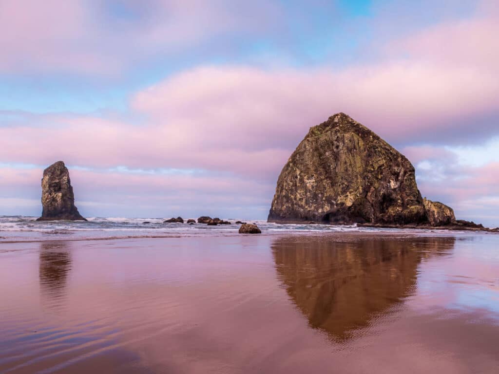
🥾 Moderate | 2.8 miles | Google Maps | Clatsop Loop Website | Drive Time from Portland: 1 ½ hours | Cost: $10 Day-Use Parking Permit for residents, $12 for non-residents
The Clatsop Loop Trail is the best beach trail at Cannon Beach. Hike among the mossy ferns above the coastline with panoramic views of the ocean.
Starting at Indian Beach, this short, 2.8-mile hike follows the old Lewis and Clark expedition in Ecola State Park. This is the perfect quick morning hike. Dogs are allowed, but they must be leashed.
Paulina Lakeshore Loop
A brisk hike around an alpine lake with natural hot springs along the trail.
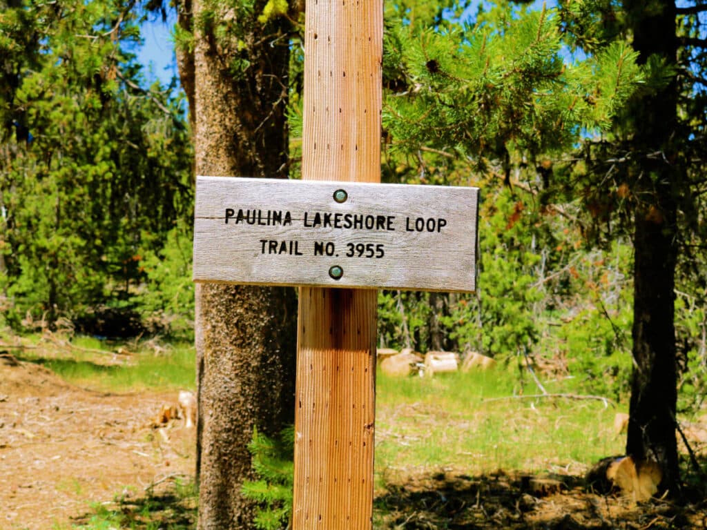
🥾 Moderate | 7.5 miles | Google Maps | Paulina Lakeshore Loop Website | Drive Time from Bend: 15 minutes | Cost: $5 day pass
The Paulina Lakeshore Loop is one of my favorite hikes at the Newberry National Volcanic Monument. Hike around the perimeter of this caldera lake with views of the volcano looming in the distance the entire time.
Bring your bathing suit and stop at Paulina Lake Hot Spring along the way. Temperatures in the pool range from 90-115 degrees.
McKenzie River Trail
Follow the winding McKenzie River in Willamette National Forest on a multi-day adventure.
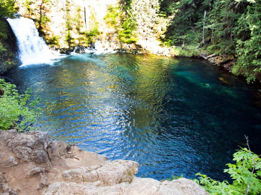
🥾 Moderate-Difficult | 24.1 miles | Google Maps | McKenzie River Trail Website | Drive Time from Eugene: 1 hour | Cost: free
The Willamette National Forest is home to hundreds of hiking trails, but the McKenzie River Trail is one of my favorites. The long, 24.1 miles of the trail may intimidate hikers at first but the trail only has 700 feet of elevation gain. It’s relatively flat and moderate despite its distance. Pass by two crashing waterfalls and lava lake beds on this versatile river trail.
Cape Falcon Trail
An Oswald West State Park trail with views of the Pacific Ocean.
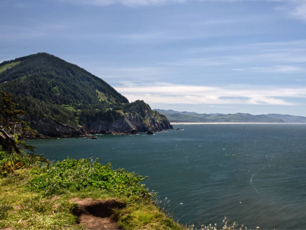
🥾 Moderate | 4.5 miles | Google Maps | Cape Falcon Trail Website | Drive Time from Cannon Beach: 13 minutes | Cost: free
The Cape Falcon Trail in Oswald West State Park is a local favorite. This loop trail has panoramic views of the Pacific Ocean as it winds its way through the coastal grasslands. The well-maintained trail is easy to follow so there’s no need to download an offline map!
Watchman Peak Trail
One of the most popular trails in Crater Lake National Park is perfect even for young kids.
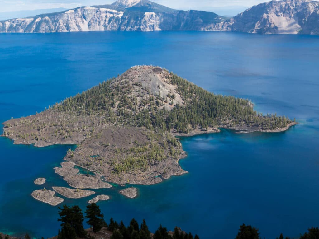
🥾 Easy | 1.7 miles | Google Maps | Watchman Peak Trail Website | Drive Time from Klamath Falls: 1 hour | Cost: Standard National Park Pass ($20/vehicle Nov-May; $30 per vehicle Late May-Oct)
Crater Lake National Park has countless trails, but Watchman Peak is one of its most family-friendly.
The trail only has 400 feet of elevation gain, and it’s less than 2 miles round trip, meaning it’s great for visitors short on time. It typically takes less than an hour to complete and offers aerial views of the deepest lake in the U.S. What’s not to love?
Koosah and Sahalie Falls Trail
A wheelchair-accessible trail laden with wildlife leads to viewpoints of two gorgeous waterfalls flowing into the McKenzie River.
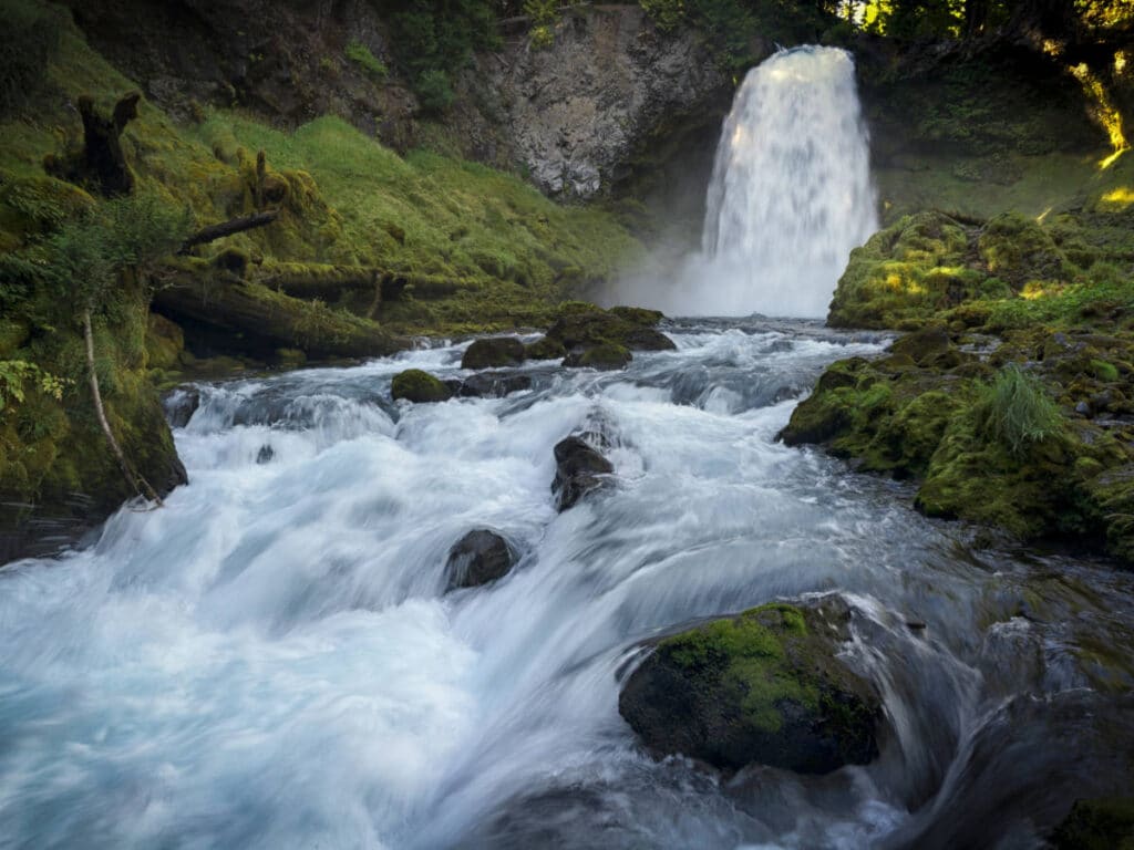
🥾 Moderate | 2.9 miles | Google Maps | Koosah and Sahalie Falls Trail Website | Drive Time from Eugene: 1 hour, 20 minutes | Cost: free
The Koosah and Sahalie Falls Trail is the hike to go on during a summer heat wave. On this hike, you’ll pass by two waterfalls on the McKenzie River right off Highway 126.
The Sahalie Falls Viewpoint is paved and wheelchair and stroller accessible. Keep an eye out for wildlife too, as deer and ground squirrels are frequently seen in this area.
Angel’s Rest
Catch breathtaking views of Columbia River Gorge at this viewpoint of this popular trail.
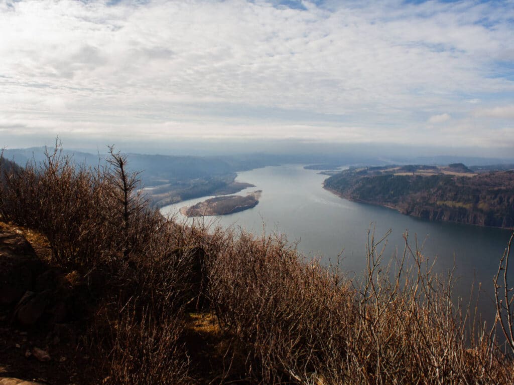
🥾 Difficult | 4.5 miles | Google Maps | Angel’s Rest Website | Drive Time from Portland: 30 minutes | Cost: free
Incredible views of the Columbia River Gorge can be found all along the Angel’s Rest Trail. With almost 1,500 feet of elevation gain, this trail isn’t the easiest but the views from the top make it worth the struggle.
The best time to hike Angel’s Rest is in the summer. There may be bigger crowds at this time, but it’s better to tackle this hike when it’s dry. The trail can get muddly and slippery (and therefore potentially dangerous) when it’s rainy.
Latourell Falls Loop Trail
A short waterfall hike in the Columbia River Gorge that’s popular with families.
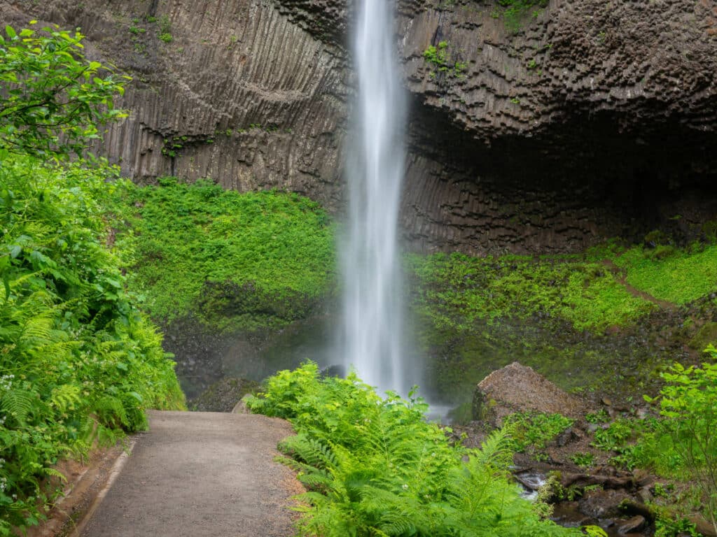
🥾 Easy | 2.4 miles | Google Maps | Latourell Falls Loop Trail Website | Drive Time from Portland: 40 minutes | Cost: Free
The short Latourell Falls Loop Trail in Guy W. Talbot State Park is a great option for travelers exploring the Columbia River Gorge. Latourell Falls is just fifteen minutes west of Multnomah Falls, so you can easily see both on the same day.
Loutrell Falls is stunning, cascading 249 feet from the top of a rocky cliff. The trail is great for families, and you can get close enough to feel the spray – a welcome reprieve on a hot day. Trekkers looking for a longer hike can also follow the path to the upper falls, but be prepared for a decent uphill climb if you do this.
Ramona Falls Trail
Discover one of the most scenic waterfalls in the Mount Hood Wilderness.
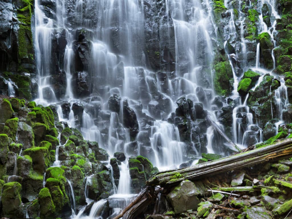
🥾 Moderate | 7.1 miles | Google Maps | Ramona Falls Trail Website | Drive Time from Mount Hood Village: 15 minutes | Cost: $5 day pass
The Mount Hood Wilderness is incredibly scenic and Ramona Falls is one of the prettiest hikes there. It’s easily done as a day trip if you’re staying in Portland – the trailhead is only an hour and a half from the city.
The trail is popular and well-maintained. There is a river crossing involved, but in summer, especially around August, it’s not too difficult to cross. The incline of the trail is incredibly gradual, making the Ramona Falls hike doable for hikers of all fitness levels.
Gold Butte Fire Lookout
A central Oregon trail in the Willamette National Forest that’s great for a quick trail run.
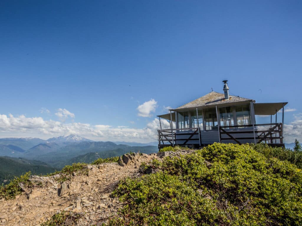
🥾 Moderate | 2.5 miles | Google Maps | Gold Butte Fire Lookout Website | Drive Time from Bend: 2 hours | Cost: free
The hike to Gold Butte Fire Lookout Trail in the Willamette National Forest is a moderate one. The road to the lookout is relatively mild in terms of elevation. Sweeping vistas of the surrounding Cascade Mountains await at the top, as does a historic lookout built in 1934.
Renovations are underway as of 2025, but eventually you’ll once again be able to rent the lookout on Recreation.gov for an incredible overnight stay in perfect solitude.
***
Thanks for reading my guide on the coolest hikes in Oregon! Up next, check out my guide on camping in Oregon for more adventures around the state.
