
Affiliate Disclosure: We’re independent & reader-supported. When you buy through our links, we may earn a commission. Learn more.
The 15 Essential Hikes in San Diego County (By a Local)

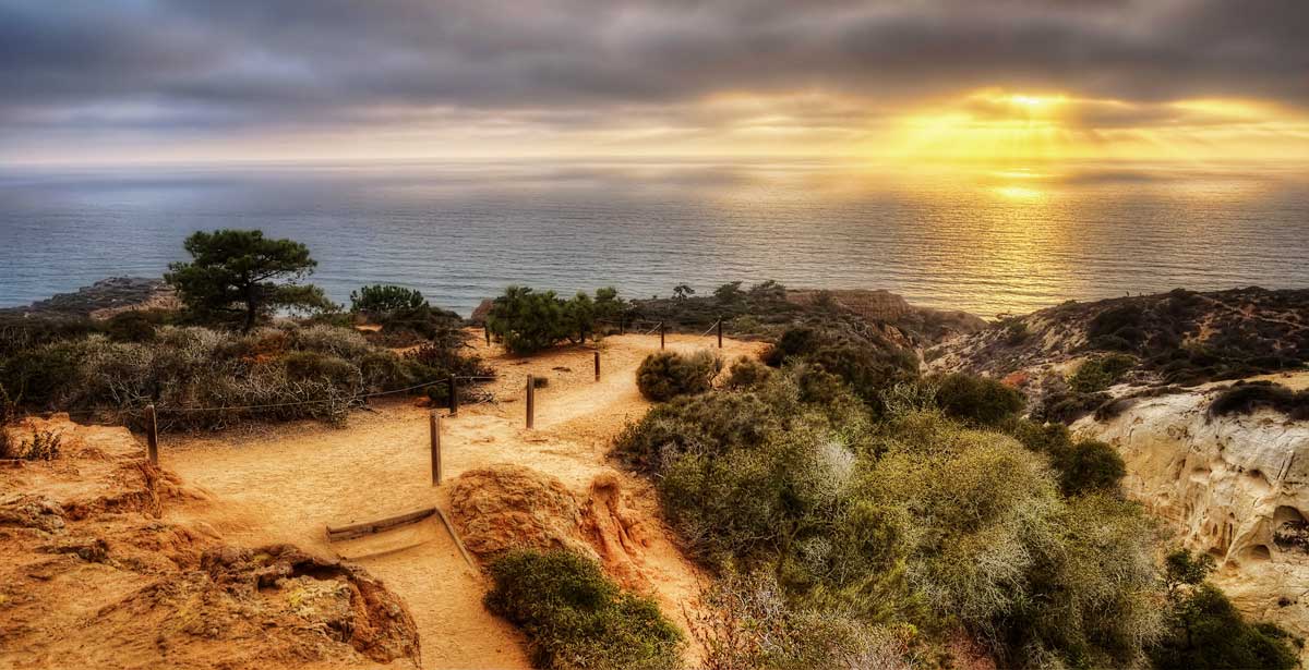
A hike is the best way to enjoy San Diego’s sunshine and beautiful landscapes! As a San Diego local, I’m here to share my favorite hiking spots so you can discover them too. I’ve ranked them from easiest to hardest for your convenience.
Of course, hiking is just one of the many great activities to do in San Diego, so be sure to bookmark that guide for more fun activities after your hike.
15 Hikes In San Diego County
Annie’s Canyon
A short and easy loop through the beautiful wetlands of the San Elijo Lagoon Ecological Reserve.

🥾 Easy | 1.5 miles | Google Maps | Website | 30 minutes from San Diego | Cost: free
Annie’s Canyon is one of San Diego’s most unique hikes! The short and easy loop leads through the beautiful wetlands of the San Elijo Lagoon Ecological Reserve to the highlight – a narrow sandstone slot canyon, complete with a ladder and sheer walls.
The canyon trail can be accessed from a few different trailheads, including North Rios, Solana Hills, and La Orilla.
Los Peñasquitos Canyon Preserve
A relatively flat trail accessible to all skill levels that’s only a short drive from San Diego.
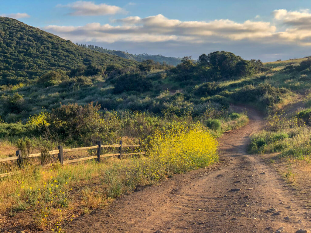
🥾 Easy | 6.8 miles | Google Maps | Website | 25 minutes from San Diego | Cost: $3 for parking
The Los Penasquitos Canyon Trail is a favorite amongst local hikers because it’s accessible to all skill levels and is a short drive from the city.
Plus, it features a waterfall, small cliffs (aka peñasquitos), shade, and is relatively flat. All that makes it a great option for families with young kids. Stick to the main trail or venture off on the many small offshoots to explore.
Tijuana Estuary
An easy out-and-back trail with some of the best bird-watching in the country.
🥾 Easy | 4.5 miles | Google Maps | Website | 25 minutes from San Diego | Cost: free
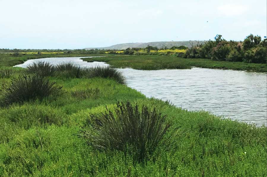
Enjoy an out-and-back trail that meanders through the Tijuana Estuary of southern San Diego. It’s flat and easy, making it handicap-accessible and kid-friendly. Bring a hat or sunscreen as there’s little shade on the trail.
The wetlands are home to over 370 species of birds, making it one of the best spots for bird watching in the county! Get there early in the morning or at dusk to see the greatest number of birds. You might spot hummingbirds, osprey, and snowy egrets.
Oak Canyon Trail
A family-friendly hike that showcases the beauty of Mission Trails Regional Park.
🥾 Easy/Moderate | 3.3 miles | Google Maps | Website | 20 minutes from San Diego | Cost: free
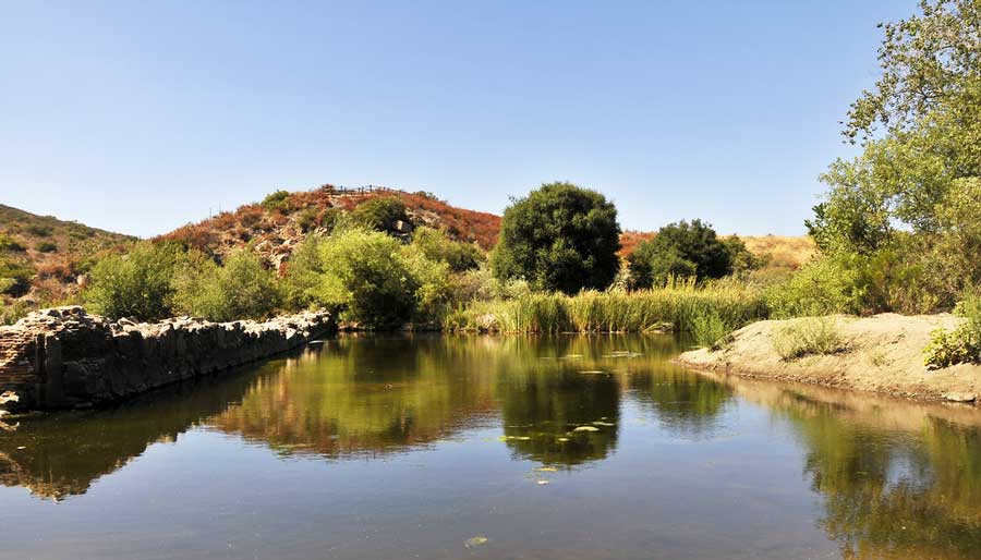
This mostly flat, family-friendly trail leads through rolling hills of southern California scrub. Along the way, you’ll wander past the Old Mission Dam, a giant sprawling oak tree, and over the San Diego River.
Oak Canyon is a favorite hike for so many because it showcases the beauty of Mission Trails Regional Park, one of the largest urban parks in the country. Another big perk? You can do this one without the steep climbs.
👉 Pro Tip: Park in the Mission Dam parking lot for easy access to the trailhead.
Eagle Rock
An easy hike to a unique rock formation located on a section of the Pacific Crest Trail.
🥾 Easy/Moderate | 6.2 miles | Google Maps | Website | 1.5 hours from San Diego | Cost: free
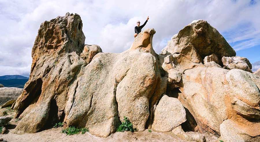
Eagle Rock is, you guessed it, a rock shaped like an eagle. The formation can be found by hiking along an easy, though lengthy, section of the Pacific Crest Trail surrounded by rocky terrain.
While Potato Chip Rock is the more famous San Diego rock formation, Eagle Rock is equally impressive and less trafficked.
Santa Ysabel Preserve West Trail
A more challenging hike with beautiful scenery and resident cows.
🥾 Moderate | 5.6 miles | Google Maps | Website | 1 hour from San Diego | Cost: free
The Santa Ysabel Preserve West Trail is a serene loop trail that challenges hikers with its repetitive, often steep ascents and descents. Besides a great workout, there’s beautiful scenery along the trail. Admire giant California live oaks and special appearances by resident cows! There are also plenty of picnic benches at regular intervals to stop and take a break.
👉 Love Exploring California’s Nature? Check out McKenna’s list of the best hikes in California!
Three Sisters Falls Trail
A hike with not just one, but three, impressive falls to enjoy!
🥾 Moderate | 4.1 miles | Google Maps | Website | 1 hour 20 minutes from San Diego | Cost: free
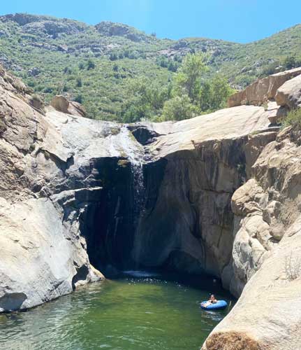
If you’re like me, you love hikes that include some body of water to jump into! You’ll adore the Three Sisters Falls Trail if so.
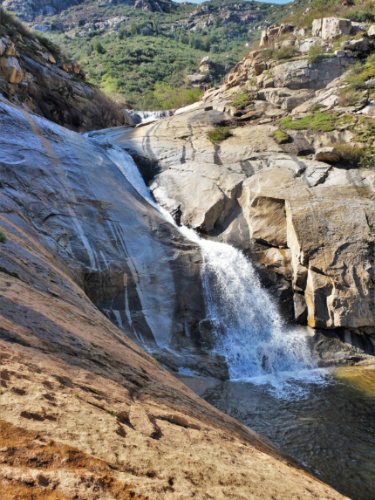
This hike winds down to meet a small stream with a modest waterfall. Hike upstream and you’ll discover the other two sisters – two more falls, one of which has a pool to cool off in.
This hike, though moderate has limited shade and can get extremely hot midday in summer. Go in spring or early in the morning to avoid heatstroke.
Potato Chip Rock via Mt. Woodson Trail
One of the most popular hikes near San Diego thanks to the iconic rock sliver.
🥾 Moderate | 7.3 miles | Google Maps | Website | 35 minutes from San Diego | Cost: $10 for parking on weekends & holidays
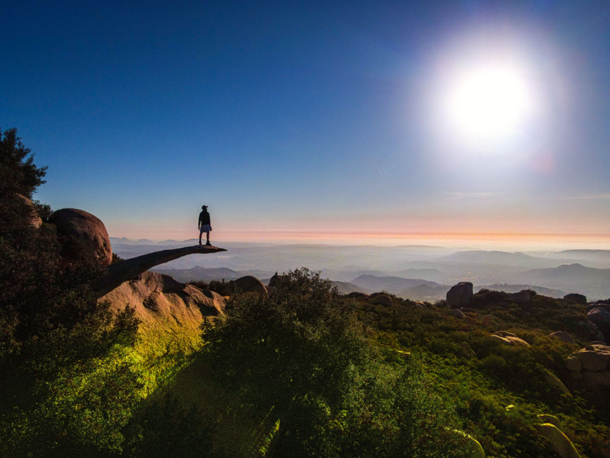
Potato Chip Rock is named for a sliver of rock that just out into the air. It’s probably the most photographed natural feature in the area!
The Mt. Woodson Trail is one of the most popular San Diego hiking trails. For the best experience (and to beat the crowds) hit the trail at sunrise to sit atop the iconic rock sliver. From here, you can also take in uninterrupted views of the Pacific Ocean. On a weekend, be prepared to wait in line to get your photo on the rock.
Cowles Mountain
A popular hike that’s especially beautiful in the spring.
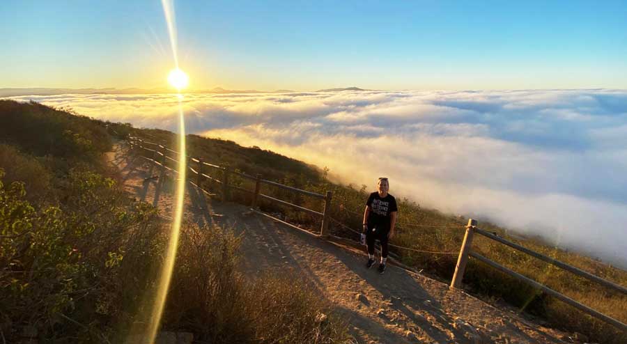
🥾 Moderate | 3 miles | Google Maps | Website | 25 minutes from San Diego | Cost: free
Cowles Mountain is a popular hike for San Diegans wanting a nearby trek with rewarding 360º views. In spring, the mountain and surrounding park bloom with wildflowers, bringing a pop of color to a normally all-brown landscape.
Because of its popularity, the Cowles Mountain Trail and summit can get pretty crowded by midday. Start your hike early to avoid the traffic.
Torrey Pines State Natural Reserve – Broken Hill Trail Loop
A moderate hike with breathtaking clifftop views of the ocean and leading to Torrey Pines State Beach.
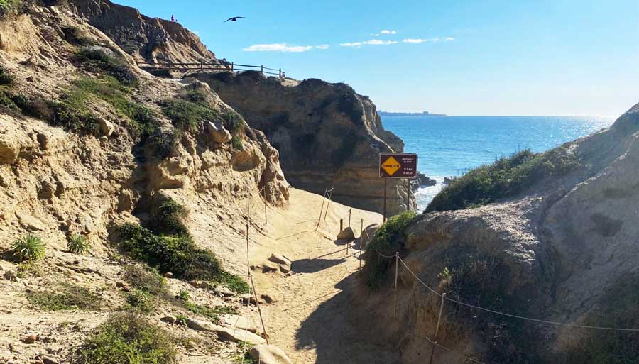
🥾 Moderate | 3.3 miles | Google Maps | Website | 25 minutes from San Diego | Cost: $10-$25 for parking
Torrey Pines State Reserve is a protected area with a collection of coastal hikes showcasing San Diego’s stunning beaches. The most popular hikes are Guy Fleming Trail (for its easy access) and Razor Point Trail (for beautiful views).
But my favorite of the Torrey Pines hiking trails is Broken Hill Trail Loop which offers breathtaking clifftop views of the ocean and leads to Torrey Pines State Beach.
👉 Pro Tip: The parking fee allows you to park at the base of the hill or up top, which allows easier access to the trails. But you can avoid the fee altogether by parking along the beach outside the kiosk.
Santa Margarita River Trail
This shady trail is a good one for hikers and horseback riders looking to escape the heat.
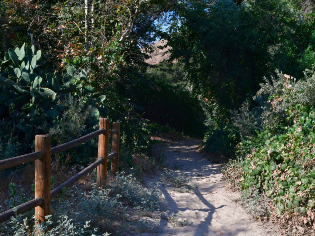
🥾 Moderate | 5.2 miles | Google Maps | Website | 1 hour from San Diego | Cost: free
The Santa Margarita River Trail stands out because it follows the wooded shores of the Santa Margarita River, one of the last undiverted, free-flowing rivers in SoCal.
Because of the flowing water, the trail is shaded (a luxury on hikes in the area) by trees along the way. This makes it an easy favorite for hikers and horseback riders.
👉 Pro Tip: This area is popular not only with people, but also with rattlesnakes. Read up on rattlesnake safety here.
Cedar Creek Falls Trail
A strenuous trail that’s more than worth it thanks to the secluded swimming pool at the end.
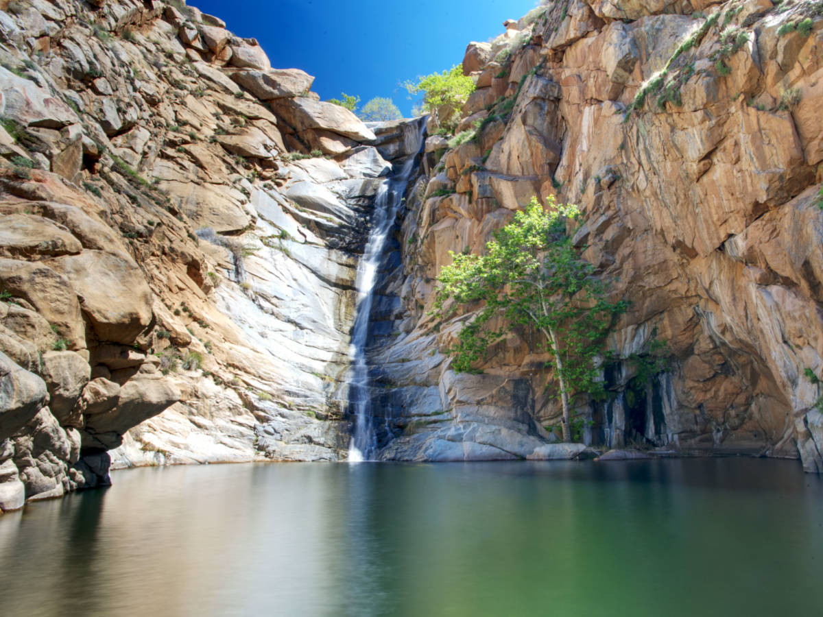
🥾 Difficult | 5.6 miles | Google Maps | Website | 50 minutes from San Diego | Cost: $10 for a permit
Cedar Creek Falls Trail is a strenuous hike, buried in Cleveland National Forest. The trail is one of San Diego’s most popular, mainly because there’s a reward at the end!
Cedar Creek Falls pours into a pool enclosed on either side by sheer rock faces, forming a secluded swimming pool. And take it from me, you’ll want a refreshing dip after this unshaded and difficult hike.
Just keep in mind that you must reserve a permit in advance (not available for purchase on-site) to do this hike.
Iron Mountain
A hard but peaceful trek through native shrubs and oaks with panoramic views.
🥾 Hard | 5.9 miles | Google Maps | Website | 35 minutes from San Diego | Cost: free
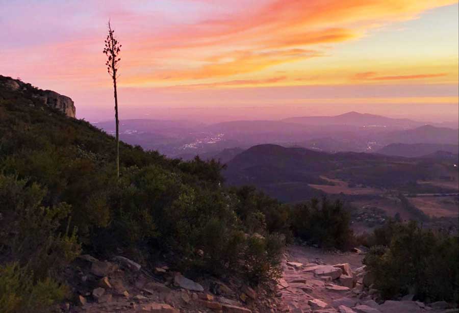
Iron Mountain Peak is a lightly trafficked trail that allows for a peaceful trek through Southern California’s native shrubs and oaks. At the end of the trail, you can enjoy panoramic views as a well-earned reward.
A loop trail is formed by the Iron Mountain Trail and Ellie Lane Trail. But a shorter and less difficult option is to do the Iron Mountain section as an out-and-back.
If you decide to do this trail, I recommend starting early in the morning and avoiding it on hot days to stay safe from dehydration and heatstroke.
Palomar Mountain Loop
A challenging trail through a beautiful landscape that resembles the Sierras.
🥾 Difficult | 10.1 miles | Google Maps | Website | 1 hour 30 minutes from San Diego
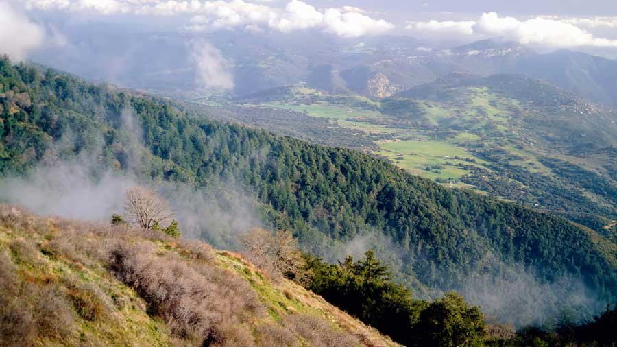
Palomar Mountain State Park is home to Palomar Observatory, beautiful pine forests, the 6,142 ft high Palomar Mountain, and many gorgeous hiking trails.
The most challenging of these are the Boucher Trail to the Lookout Tower and Palomar Mountain Loop combination, but there are plenty of other easy and moderate trails to enjoy.
This is one of my favorite areas to explore because it feels like the Sierras, but it’s right here in eastern San Diego! Don’t skip a visit to the Boucher Hill Fire Lookout Towers which offer spectacular views of the state park and beyond.
📚 Related Reading: Palomar is so good it made my list of the best day trips from San Diego! Check out that guide for even more great ideas for places to go.
Cuyamaca Peak Loop Trail
A difficult hike to the second-highest peak in San Diego with unbeatable panoramic views.
🥾 Difficult | 5.5 miles | Google Maps | Website | 55 minutes from San Diego | Day Use Fee: $10 per vehicle
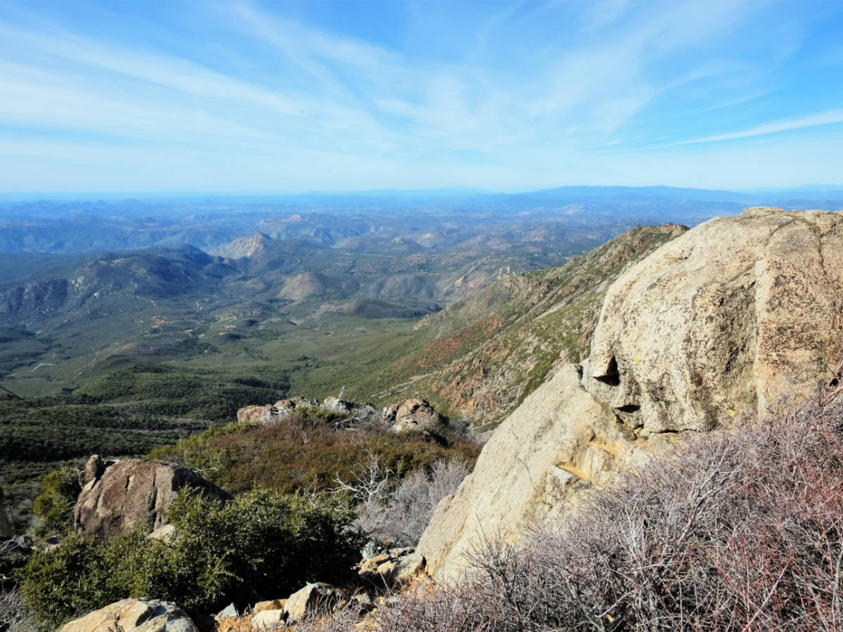
Rising to an elevation of 6,515 feet elevation, Cuyamaca is the second-highest peak in San Diego.
Cuyamaca’s elevation and its location in the center of the county, means hikers will have unbeatable panoramic views here. You’ll be able to look from Cuyamaca Rancho State Park all the way to the beach.
Despite the elevation gain, the Cuyamaca Peak Loop Trail isn’t overly technical or challenging, making it accessible even for ambitious beginner hikers. The most accessible trailhead is in the Paso Picacho Campground.
👉 Pro Tip: Avoid this hike during the heat of summer! And be sure to bring LOTS of water no matter the season.
***
I hope you’re ready to explore beaches, deserts, and mountain forests! San Diego County has an incredibly diverse landscape that’s best appreciated with a good hike!
Want more ideas on how to enjoy America’s Finest City? Check out my article about areas to stay in San Diego next!

Hi! Great list! Which trail is the main image from? It’s gorgeous!
Thanks Gem! That image is from Torrey Pines State Natural Preserve. I’m not sure what exact trail that was on, but any of the trails throughout the park will offer equally stunning views, especially at sunset!